Traffic control plans, on real map data
Draw MUTCD-compliant traffic control and site plans on a live map — and export true-to-scale PDF sheets that stay fully editable in Bluebeam.
TrafficCAD is a map-native plan editor for contractors, municipalities, engineering firms, and event organizers. Place real MUTCD signs and devices with CAD-grade snapping and dimensions, generate titled sheet sets from map crop regions, and let the rules engine compute and check plans against the MUTCD — with a citation for every number.
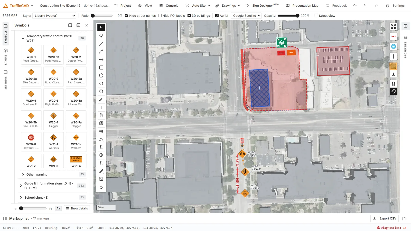
A curb-lane closure on a five-lane arterial: computed merging taper, buffer space, a drum run at code spacing, advance warning signs, and dimensions — drawn straight onto the aerial imagery.
What TrafficCAD does¶
Auto Site¶
Search an address and press Auto Site: live map data becomes editable CAD layers over high-resolution aerial imagery — parametric roads with real widths, lanes and speed limits, split per block at every intersection, plus sidewalks, buildings, and parking.
Traffic control plans¶
Draw the work area and generate the plan. The TTC engine classifies the closure, then computes taper length, buffer space, and advance sign spacing straight from MUTCD Part 6 — and prints the table it applied next to every number.
Signs & devices¶
The full FHWA standard highway sign catalog plus Texas and California state libraries, as editable vectors with retypeable Highway Gothic legends. Channelizing devices, supports and mountings, and site-safety signage place with true snap points.
Sign Designer¶
A GuideSIGN-class panel designer with Standard Highway Signs metrics, exact FHWA arrows and shields, live dimension chains, and fabrication sheets — plus hundreds of parametric MUTCD figure templates to start from.
Markup, measure & document¶
Clouds, callouts, text, arrows, areas, and associative dimensions that read true ground distances. Shapes can show their own length and area, and the Markups List exports the whole record to CSV for takeoffs.
Pavement markings¶
An MUTCD Part 3 marking engine: junction-aware centerlines, edge lines, turn bays, two-way left-turn lanes, bike and parking lanes, crosswalks, and cited presets with quantity takeoffs.
Plan sheets & PDF¶
Multi-sheet drawing sets with title blocks, general notes, scale bars, north arrows, and revision tables. The stage you edit and the PDF you export are the same renderer, and exported markups stay editable in Bluebeam.
3D, street view & presentation¶
Every cone, drum, and sign support stands up in true 3D. Review the plan from the driver's seat in street view, then brief stakeholders with a scroll-driven Presentation Map.
Site works & events¶
Parametric fencing with bills of materials, and an event planning mode with zones, routes, and parking-lot generation for festivals, races, and closures.
Learn TrafficCAD¶
Start with the User Guide for a feature-by-feature tour of the workspace, then follow the Tutorials for hands-on, end-to-end workflows.
- Interface Overview: the toolbar, panels, map, and status bar.
- Your First Traffic Plan: draw a lane closure end-to-end.
- Generate a TTC Plan: let the engine compute the closure and cite it.
Read the User Guide Browse the Tutorials
Plans are drafts
Plans produced by TrafficCAD — generated or hand-drawn — are drafts that require review and approval by a qualified engineer before use in the field, per MUTCD §6P.01. TrafficCAD computes and cites; it does not approve.